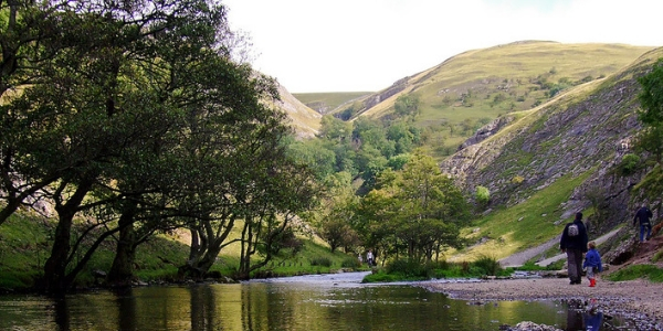
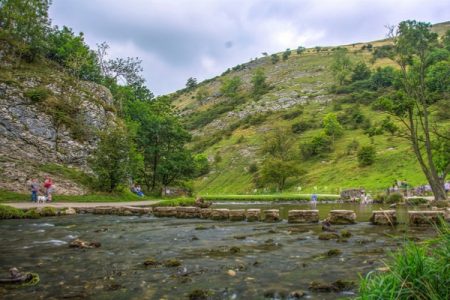
Although Dovedale refers to the majority of the route along which the River Dove flows, when we hear the word Dovedale, we immediately think of those iconic stepping stones for which it is so famous. From a tourist point of view, we tend to think of Dovedale as the 3 miles or so section of the river between the stepping stones under Thorpe Cloud and Milldale.

Where does the River Dove go?
The Rover Dove rises on Axe Edge Moor near Buxton and then heads south through the limestone landscape of the southern Peak District. For the vast majority of its 45 mile course, the river marks the boundary between Staffordshire and Derbyshire.
The Rover Dove joins the River Trent at Newton Solney, near Burton upon Trent.
A history of the stepping stones
The stepping stones were originally laid in about 1890 for Victorian tourists who would take donkey rides along the riverside. The river itself was made famous long before that when Izaak Walton and Charles Cotton wrote ‘The Compleat Angler’.
The Ashbourne to Buxton railway stopped at Thorpe Cloud station which made Dovedale very accessible to tourists in the early part of the 20th century.
The stones and other parts of the Dovedale valley were passed into the care of the National Trust in 1934.
Over time thousands have crossed the river using the stones and they became uneven, worn and slippery. When the water ran high they sometimes flooded.
For safety and to help prevent people slipping, the original stones were controversially “capped” in 2010 with uniform limestone slabs. As they are now higher, it is much less likely they will be flooded. We just need another 100 years use to recreate the wear and charm of the original stones!

Other famous parts of Dovedale
Milldale village is a very pretty village with quaint houses. It’s a great place to start a walk along the river. The bridge, Viators Bridge is a packhorse bridge that been in use since medieval times.
Thorpe Cloud is the very conical hill close to the stepping stones. When we are travelling home from the south, we know that we are getting close when we see its very distinctive shape.
There are numerous rock formations and limestone features along the valley, all with romantic names such as; Twelve Apostles; Tissington Spires; Lovers Leap; Reynards Cave; Lions Head Rock; Dove Holes; and Pickering Tor
How to get there;
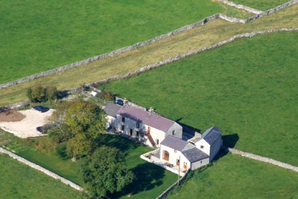
Dovedale is about 20 minutes by car from Ashbourne. It’s about 40 minutes to either Bakewell or Buxton. Dovedale is approximately 30 minutes by car from the cottages.
Parking
There is a large National Trust car park for Dovedale. The closest postcode is DE6 2AX. There are signs for parking as you get close.
The stepping stones are then a 10 minute walk from the car park on the tarmac.
From there, you can walk for as long or as little as you wish. If you are feeling energetic then take the opportunity to stride up Thorpe Cloud, the very conical looking hill, The views from the top are well worth the effort.
Can you take dogs to Dovedale?
Dogs are very welcome at Dovedale
What else to do whilst you are there
The National Trust property, Ilam Park, is only a couple of miles away from the Dovedale car park. There, you’ll find a tea room and dog watering bowls.
Dovedale attracts around 1m visitors a year. Other dales in the area to check out that are just as pretty but nowhere near as busy are; Beresford Dale, Milldale and Wolfescote Dale (all are along the River Dove)
You’ll stand a better chance of seeing some of the river’s bird life – dippers, kingfishers, herons – if you head away from the crowds.
If you’ve found this post helpful or interesting then please do share it.


